MHG14145 - Cup marked stones - Druim Mor, Swordale
Summary
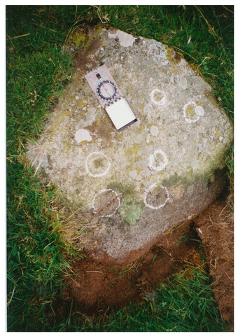
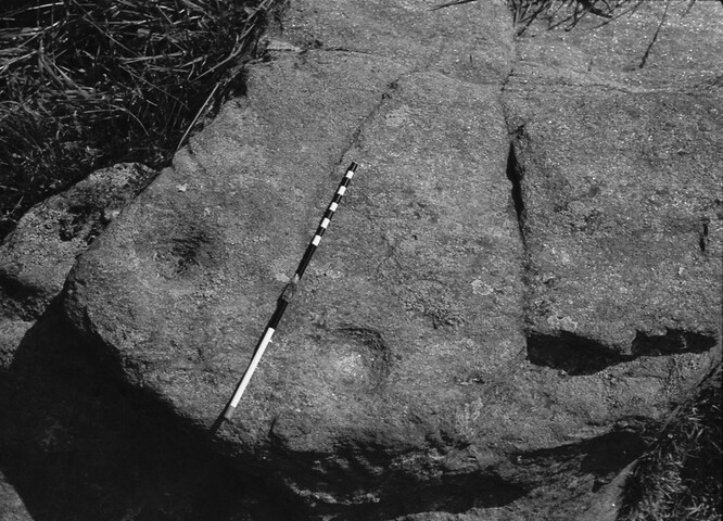
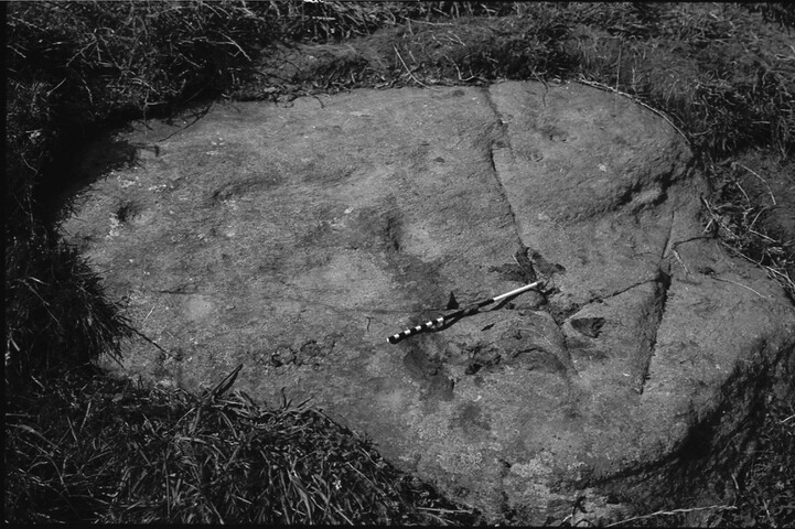
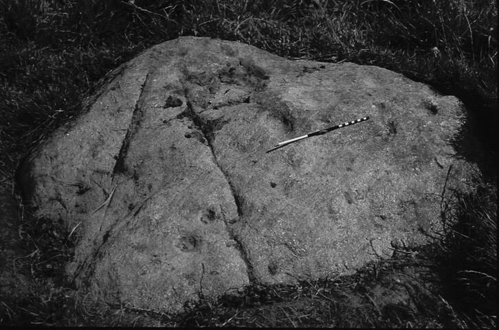
A collection of cupmarked stones within the Scheduled Monument Area at Druim Mor, near Evanton.
Type and Period (1)
- ROCK ART (Neolithic to Late Bronze Age - 4000 BC? to 551 BC?)
Protected Status
Full Description
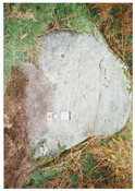
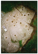
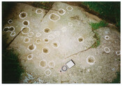
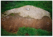
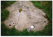
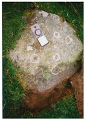
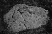
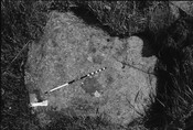
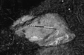
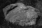
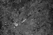
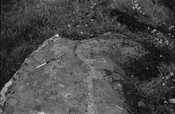
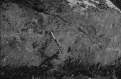
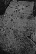
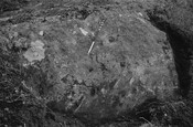
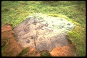
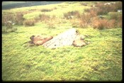
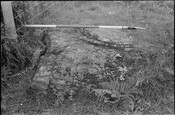
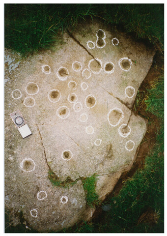
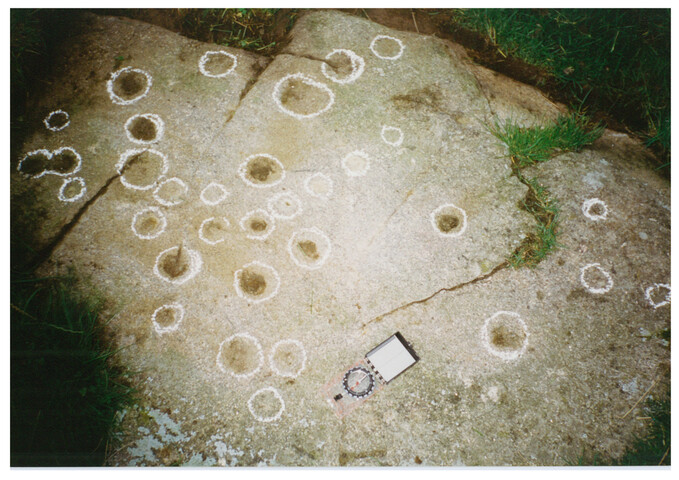
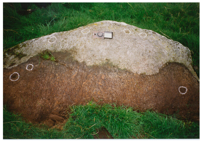
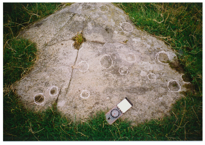
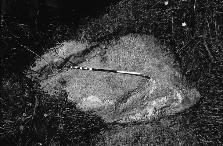
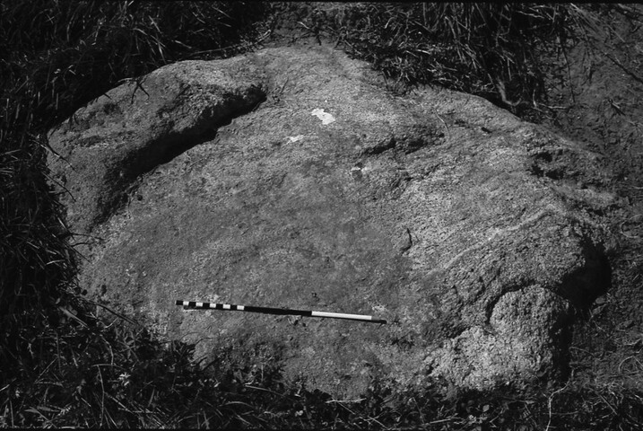
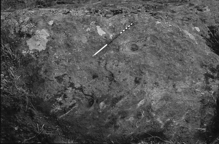
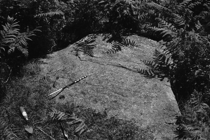
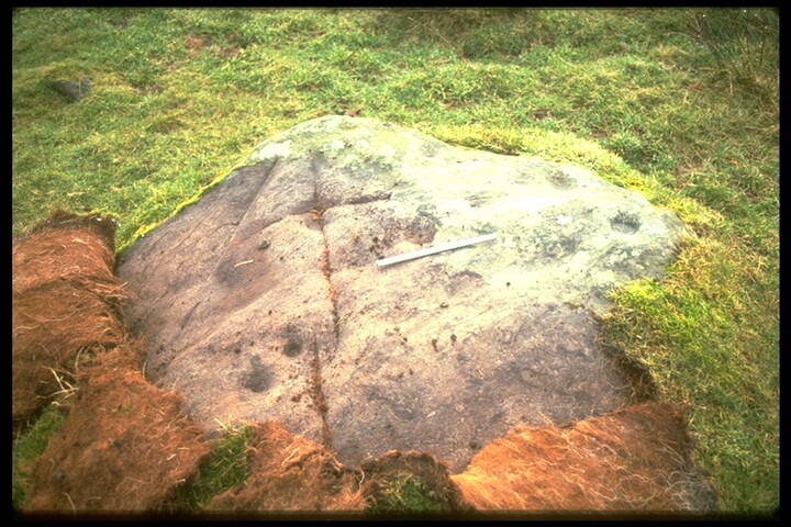
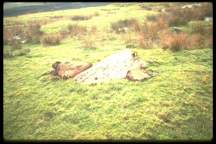
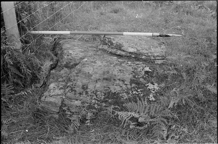
A concentration of rock art panels at Drium Mor, Swordale near Evanton. See individual records for detailed descriptions of each panel.
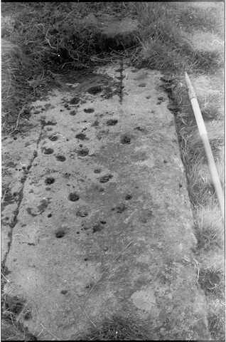
"In Swordale stack-yard there is a flat stone, four feet long by three broad, one side of which is covered with cup marks and other artificial hollows. It lay in a heap, with the sculptured side underneath; but Mr Joass, Dingwall, who was aware of its existence, had it turned over and its markings exposed. Mr Joass said that attention was first drawn to markings of this kind by the late Earl of Eglinton about fifty years ago… in May 1864… In September following he [Mr Joass] walked across from Dingwall to Swordale by way of Mountgerald, and on a little patch of uncultivated land, he stumbled upon an interesting specimen of a cup and ring-marked stone. He then made a search, and before he left the ground he had discovered ten specimens. Since then he had found other four or five, all within a radius of ten acres in extent, and most of them lying close together. They bear on their surface a multiplicity of markings, varying from the smallest cup to the most complicated figures." <1>
The site was written about by N MacRae in 1923. <2>
Nearby at NH 5786 6614 is a small rock outcrop bearing on its horizontal upper surface about six hollows, two of which at least appear to be cup marks, and others possibly due to weathering, if not weathered cups. Cairn and cup-marked rock surveyed at 1:2500. Visited by OS (A A) 1 October 1973.
No change. Visited by OS (JB) 8 November 1976.
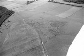
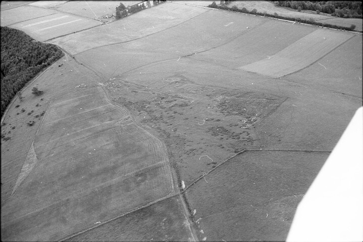
The site was photographed from the air by R B Gourlay in 1983. <3>
Over several days between the 18th of June and the 14th of August 1987 the rocks at Swordale were subject to scale drawing and were surveyed by a team of individuals associated with the Highland Regional Council. Both R B Gourlay and D Scott conducted surveys of the stones and each created a map showing the location of sites they had recorded. <4>
Another two photographs were potentially taken at this time as part of the survey work undertaken. <5> <6>
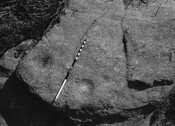
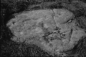
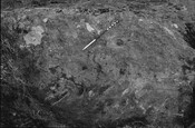
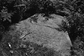
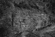
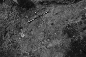
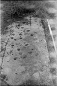
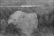
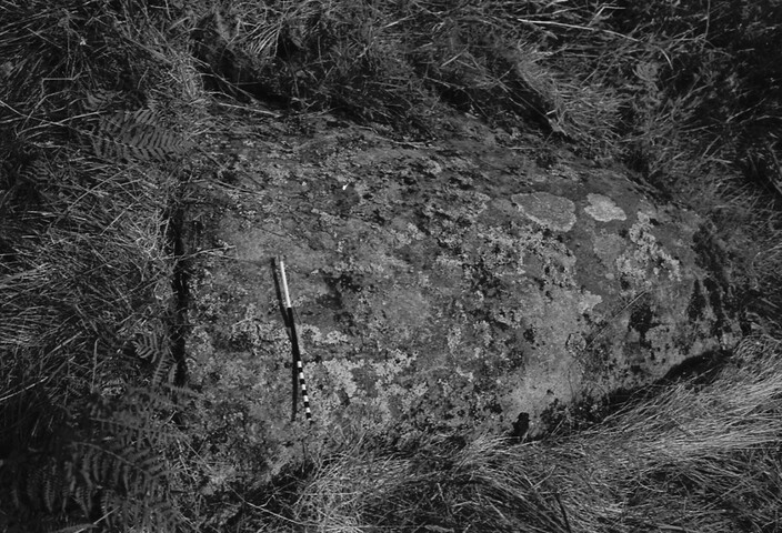
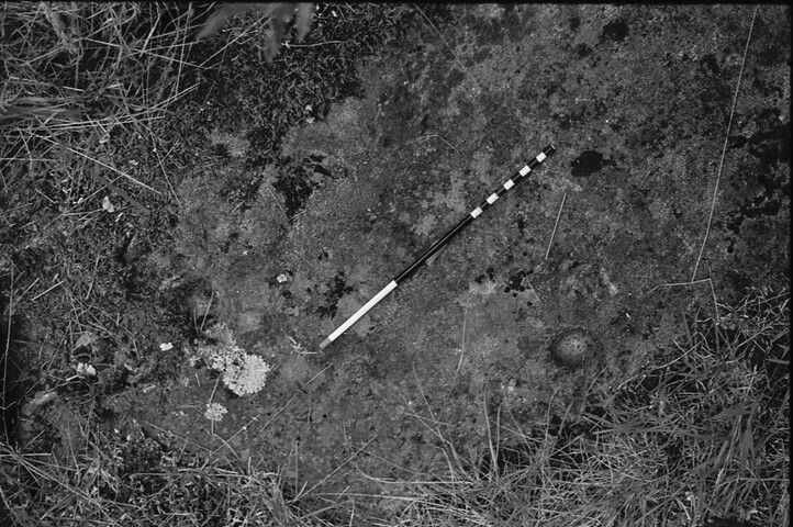
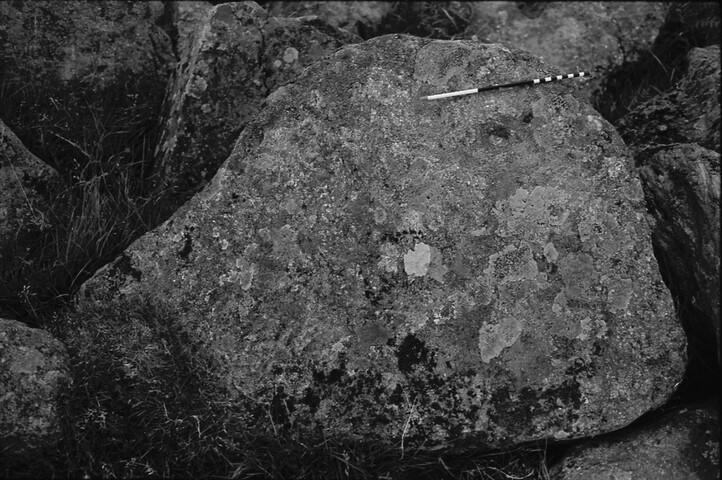
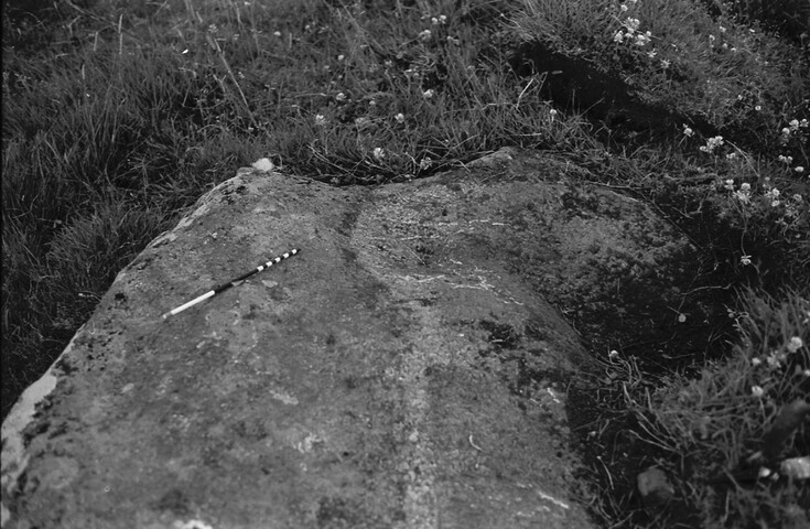
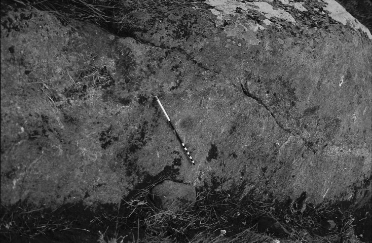
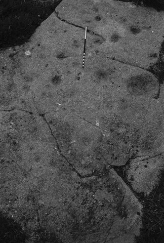
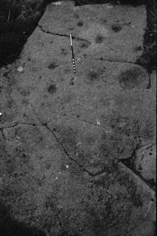
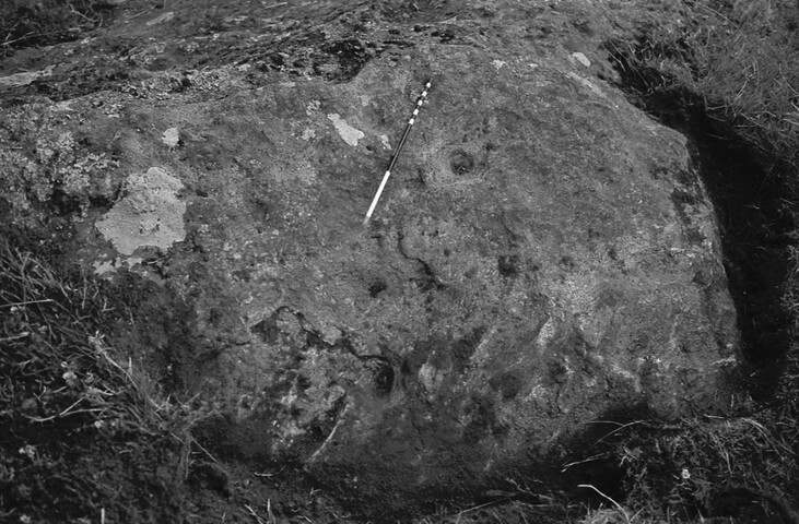
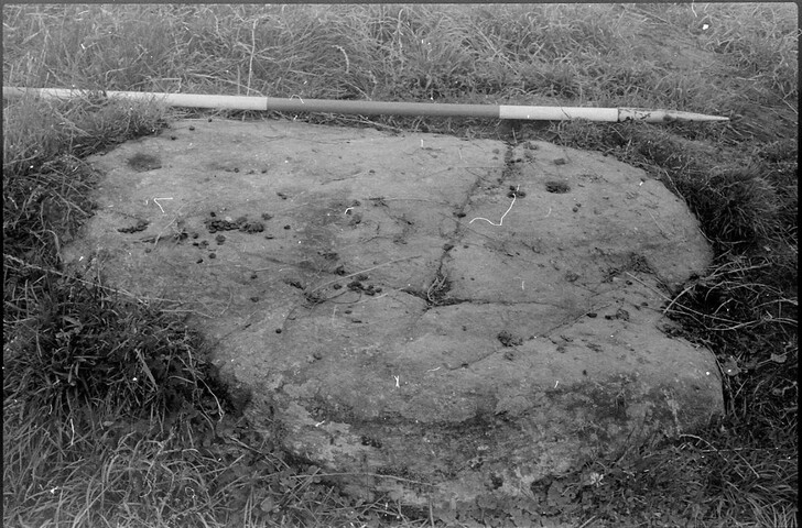
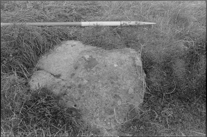
On the 24th of July 1987, several of the stones were photographed by P R Campbell and they were photographed again on the 14th of August by L A Robertson, both of the Highland Regional Council. <7> <8> <9> <10> <11> <12> <13> <14> <15> <16> <17> <18> <19> <20> <21> <22> <23> <24> <25> <26> <27> <28> <29> <30>
On the 18th of Feburary 1991 the area including the farmstead, field system, chambered cairn and cupmarks was Scheduled. <31>
A number of stones were re-photographed by D Scott in 1992. These were stones: 5, 14, 15, 19 and 22. <32>
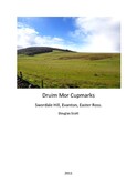
The whole site was re-surveyed by D Scott in 2012. At this time a total of 28 stones were identified and recorded. The stones in all descriptions have followed this numbering system. For more information, please see the attached report. <33>
Note: The GIS data for this record is based on D Scott's 2012 survey, but shapefiles are available for both of the 1987 surveys carried out by R Gourlay and D Scott for comparison.
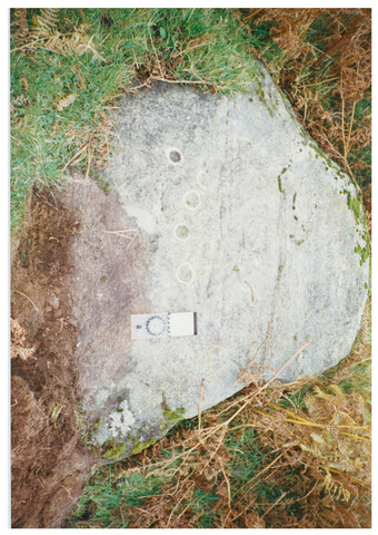
The cup marked stones were surveyed and individually recorded as part of the ScRAP (Scotland’s Rock Art project) by members of NoSAS between 2017 and 2021. <34>
Sources/Archives (34)
- <1> SHG26391 Text/Publication/Article: Inverness Scientific Society and Field Club. 1875-80. 'The Black Rock in Ross-shire' in Transactions of the Inverness Scientific Society and Field Club, Vol I, 1875-1880. 361-70. Digital (scanned as PDF).
- <2> SHG2489 Text/Publication/Volume: MacRae, N. 1923. The romance of a royal burgh: Dingwall's story of a thousand years.
- <3> SHG3782 Image/Photograph(s)/Aerial Photograph: Gourlay, R B. 1983. Deserted settlement and site of numerous cupmarked rocks, from the north-west. B/W Negative. . Original & digital.
- <4> SHG26466 Collection/Project Archive: Highland Regional Council. 1987. Project archive of field survey carried out by Highland Regional Council in 1987. Highland Regional Council. No. Digital (scanned from pdf).
- <5> SHG9732 Image/Photograph(s): Highland Regional Council. 1980s. Cupmarks, Swordale. Colour Slide; Digital Image. No. Original & digital.
- <6> SHG9737 Image/Photograph(s): Highland Regional Council. 1980s. Cupmarks, Swordale. Colour Slide; Digital Image. No. Original & digital.
- <7> SHG4665 Image/Photograph(s): Campbell, P R. 1987. Cup marked stone: one of many in a complex of stones. B/W Negative. No. Original & digital.
- <8> SHG4653 Image/Photograph(s): Campbell, P R. 1987. Cup marked boulder: one of many in a complex of boulders. B/W Negative. No. Original & digital.
- <9> SHG4646 Image/Photograph(s): Campbell, P R. 1987. Cup marked boulder: one of many in a complex of boulders. B/W Negative. No. Original & digital.
- <10> SHG4660 Image/Photograph(s): Campbell, P R. 1987. Cup marked stone: one of many in a complex of stones. B/W Negative. No. Original & digital.
- <11> SHG4654 Image/Photograph(s): Campbell, P R. 1987. Cup marked boulder: one of many in a complex of boulders. B/W Negative. No. Original & digital.
- <12> SHG4647 Image/Photograph(s): Campbell, P R. 1987. Cup marked boulder: one of many in a complex of boulders. B/W Negative. No. Original & digital.
- <13> SHG4661 Image/Photograph(s): Campbell, P R. 1987. Cup marked stone: one of many in a complex of stones. B/W Negative. No. Original & digital.
- <14> SHG4658 Image/Photograph(s): Campbell, P R. 1987. Flash failure - Cup marked stone: one of many in a complex of stones. B/W Negative. No. Original & digital.
- <15> SHG4648 Image/Photograph(s): Campbell, P R. 1987. Cup marked boulder: one of many in a complex of boulders. B/W Negative. No. Original & digital.
- <16> SHG4662 Image/Photograph(s): Campbell, P R. 1987. Cup marked stone: one of many in a complex of stones. B/W Negative. No. Original & digital.
- <17> SHG4645 Image/Photograph(s): Campbell, P R. 1987. Cup marked boulder: one of many in a complex of boulders. B/W Negative. No. Original & digital.
- <18> SHG4652 Image/Photograph(s): Campbell, P R. 1987. Cup marked boulder: one of many in a complex of boulders. B/W Negative. No. Original & digital.
- <19> SHG4651 Image/Photograph(s): Campbell, P R. 1987. Cup marked boulder: one of many in a complex of boulders. B/W Negative. No. Original & digital.
- <20> SHG4659 Image/Photograph(s): Campbell, P R. 1987. Flash failure - Cup marked stone: one of many in a complex of stones. B/W Negative. No. Digital.
- <21> SHG4649 Image/Photograph(s): Campbell, P R. 1987. Cup marked boulder: one of many in a complex of boulders. B/W Negative. No. Original & digital.
- <22> SHG4663 Image/Photograph(s): Campbell, P R. 1987. Cup marked stone: one of many in a complex of stones. B/W Negative. No. Original & digital.
- <23> SHG4650 Image/Photograph(s): Campbell, P R. 1987. Cup marked boulder: one of many in a complex of boulders. B/W Negative. No. Original & digital.
- <24> SHG4664 Image/Photograph(s): Campbell, P R. 1987. Cup marked stone: one of many in a complex of stones. B/W Negative. No. Original & digital.
- <25> SHG4655 Image/Photograph(s): Campbell, P R. 1987. Cup marked boulder: one of many in a complex of boulders. B/W Negative. No. Original & digital.
- <26> SHG26476 Image/Photograph(s): Robertson, L A. 1987. Boulder, cup marked 'Q'. B/W Negative. No. Original & digital.
- <27> SHG26479 Image/Photograph(s): Robertson, L A. 1987. Cup marks, boulder 'L' - taken from the SE. B/W Negative. No. Original & digital.
- <28> SHG26478 Image/Photograph(s): Robertson, L A. 1987. Cup marks, boulder 'J' - taken from the SE. B/W Negative. No. Original & digital.
- <29> SHG26477 Image/Photograph(s): Robertson, L A. 1987. Cup marks, boulder 'I' - taken from the SE. B/W Negative. No. Original & digital.
- <30> SHG26482 Image/Photograph(s): Robertson, L A. 1987. Cup marks, boulder 'E' - taken from the SE. B/W Negative. No. Original & digital.
- <31> SHG26459 Text/Designation Notification/Scheduled Monument: Historic Scotland. 1991. Entry in the Schedule of Monuments: The Monument known as Drumore, farmstead, field system, chambered cairn and cupmarks. Digital (scanned as PDF).
- <32> SHG26483 Image/Photograph(s): Scott, D.. 1992. Photographic recording of cup marked stones (5, 14, 15, 19 and 22) at Druim Mor, Evanton. Colour digital. Yes. Original & digital.
- <33> SHG26176 Text/Report/Fieldwork Report: Scott, D. 2012. Druim Mor Cupmarks: Swordale Hill, Evanton, Easter Ross. Scott, D. Yes. Digital.
- <34> SHG28055 Interactive Resource/Online Database: Historic Environment Scotland. 2017-. Scotland's Rock Art (ScRAP).
Map
Location
| Grid reference | Centred NH 5778 6616 (228m by 170m) (2 map features) |
|---|---|
| Map sheet | NH56NE |
| Geographical Area | ROSS AND CROMARTY |
| Civil Parish | KILTEARN |
Finds (0)
Related Monuments/Buildings (21)
- Parent of: Cup and ring marked stone - Druim Mor, Swordale (16) (Monument) (MHG63216)
- Parent of: Cup marked stone - Druim Mor, Swordale (19) (Monument) (MHG63241)
- Parent of: Cup marked stone - Druim Mor, Swordale (10) (Monument) (MHG63191)
- Parent of: Cup marked stone - Druim Mor, Swordale (12) (Monument) (MHG63234)
- Parent of: Cup marked stone - Druim Mor, Swordale (13) (Monument) (MHG63240)
- Parent of: Cup marked stone - Druim Mor, Swordale (14) (Monument) (MHG63231)
- Parent of: Cup marked stone - Druim Mor, Swordale (15) (Monument) (MHG63218)
- Parent of: Cup marked stone - Druim Mor, Swordale (21) (Monument) (MHG63221)
- Parent of: Cup marked stone - Druim Mor, Swordale (22) (Monument) (MHG63224)
- Parent of: Cup marked stone - Druim Mor, Swordale (23) (Monument) (MHG63227)
- Parent of: Cup marked stone - Druim Mor, Swordale (24) (Monument) (MHG63226)
- Parent of: Cup marked stone - Druim Mor, Swordale (25) (Monument) (MHG63228)
- Parent of: Cup marked stone - Druim Mor, Swordale (4) (Monument) (MHG63176)
- Parent of: Cup marked stone - Druim Mor, Swordale (5) (Monument) (MHG63174)
- Parent of: Cup marked stone - Druim Mor, Swordale (6) (Monument) (MHG63173)
- Parent of: Cup marked stone - Druim Mor, Swordale (7) (Monument) (MHG63171)
- Parent of: Cup marked stone - Druim Mor, Swordale (8) (Monument) (MHG63186)
- Parent of: Cup marked stone - Druim Mor, Swordale (Monument) (MHG63225)
- Parent of: Cup marked stones - Druim Mor, Swordale (Monument) (MHG63229)
- Parent of: Rock with natural features, previously described as a Cup Marked Stone - Druim Mor, Swordale (11) (Monument) (MHG63190)
- Parent of: Rock with natural features, previously described as a Cup Marked Stone - Druim Mor, Swordale (9) (Monument) (MHG63188)
Related Investigations/Events (5)
- Field survey - Druim Mor Cupmarks, Swordale Hill, Evanton, Easter Ross (EHG4027)
- Field survey - Druim Mor, Swordale (EHG909)
- Photographic survey - Druim Mor, Evanton (EHG4252)
- Photographic survey - Druim Mor, Swordale (EHG4247)
- Site visits, measured survey and photography - Scotland's Rock Art Project (ScRAP) (EHG6169)
External Links (2)
- http://portal.historicenvironment.scot/designation/SM4945 (Online designation description (Historic Environment Scotland))
- https://canmore.org.uk/site/12889 (View HES Canmore entry for this site)
Comments and Feedback
Do you have any more information about this record? Please feel free to comment with information and photographs, or ask any questions, using the "Disqus" tool below. Comments are moderated, and we aim to respond/publish as soon as possible.
